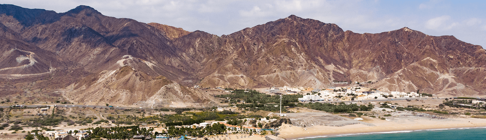
Fujairah 3D
A Landmark Project by Fujairah GIS Center
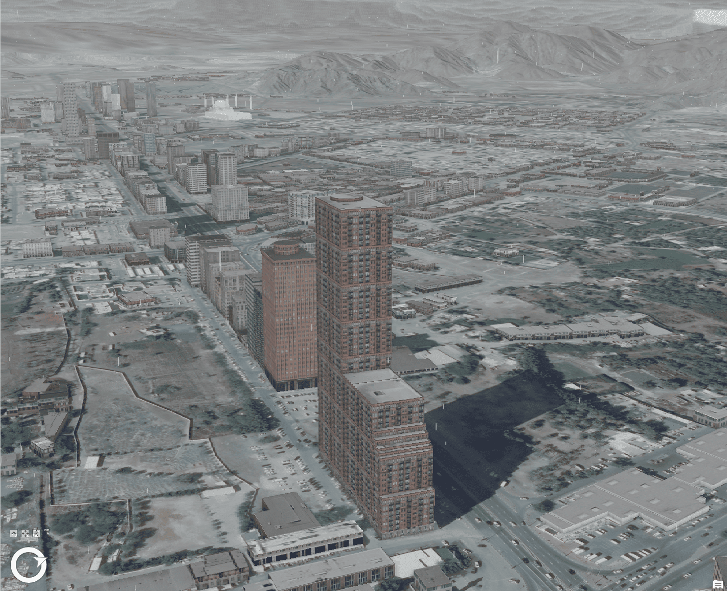
The Fujairah 3D Project, by the Fujairah GIS Center, is a groundbreaking initiative designed to digitally transform how we understand, plan, and develop the Emirate of Fujairah. By integrating advanced 3D mapping, modeling, and visualization technologies, this project creates a highly detailed digital replica of the emirate’s landscapes, infrastructure, urban areas, and natural features.