Ensuring the provision of all geospatial services in accordance with standards of quality, efficiency and transparency.
His Highness Sheikh Hamad bin Mohammed Al Sharqi, may God protect him, Member of the Supreme Council and Ruler of Fujairah, issued Law No. (3) of 2017, establishing the Fujairah GIS Center for Geographical Information Systems, based in Fujairah, to be the only official source in the Emirate of Fujairah for geographical and survey information. According to the law, the center is responsible to collect all detailed geographical data and information, digital and descriptive, for the Emirate of Fujairah in co-operation with various local departments, authorities and public institutions, persons, and companies working in the emirate.The center will provide the information in digital and paper format to any governmental authority that wants to benefit from it.
This service allows the issuance of address data for my place and house numbers....
It allows the customer to request a layer of spatial data for each region in GIS format...
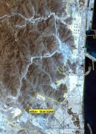
It allows the customer to request satellite image data for each region...
It allows the customer to request aerial photo data for each region...
Through this service it is possible to install a reference point for a utility...
Leave a message and we will come back to you shortly. Please provide as much details as possible along with your contact information.